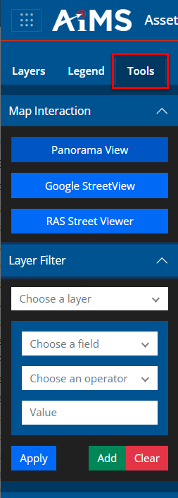
The Tools tab contains a series of interactive tools and filters. The Map Interaction tools allow you to select different views from external sources that will open up in a new tab outside of Map Viewer. The Layer Filter allows you to filter data based on specific layer attributes to limit the data displayed and assist with analysis.
This is an illustration showing the Tools pane on the left with all groups expanded.